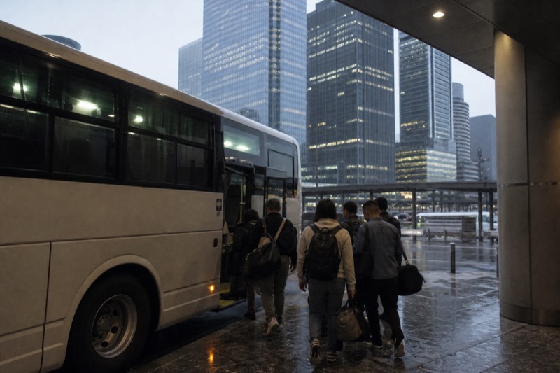
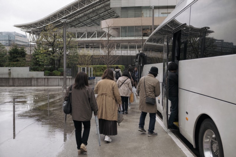
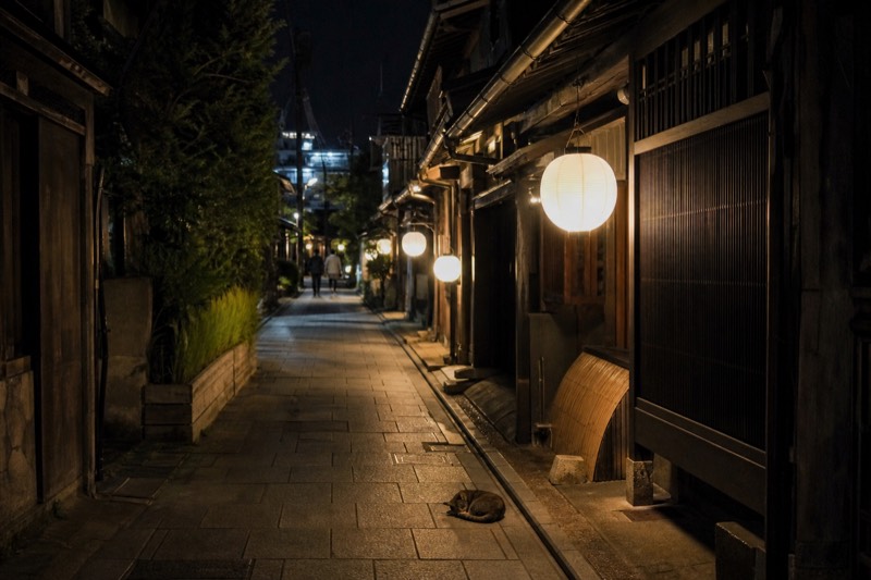
Fushimi Inari Taisha, Kiyomizu-dera, Arashiyama with its bamboo grove, Byodo-in and Gion are not stops on this tour. They sit on this map because travellers look for them when planning a Kyoto day. Reaching any of them means a separate trip, on your own time.
Showing all 17 mapped points around Kyoto Station, grouped into five sets. Pick one, or tap a numbered point on the map, to narrow the list.
1 Osaka Station (Umeda)
- Meet And End Points
- Osaka
- 40 km from Kyoto Station in a straight line
JR Osaka Station in the Umeda district, the Osaka pickup point for travellers joining the day tour from Osaka.
Straight-line distance computed at build time from the two mapped OpenStreetMap coordinates. It is not a road distance and it is not a walking time.
2 Osaka Namba
- Meet And End Points
- Osaka
- 43 km from Kyoto Station in a straight line
Where the three Osaka-departure options END, between 18:10 and 18:30. They do not return to Kyoto.
Straight-line distance computed at build time from the two mapped OpenStreetMap coordinates. It is not a road distance and it is not a walking time.
3 Nijo Castle
- Kyoto Stops On The Tour
- Kyoto
- 3.4 km from Kyoto Station in a straight line
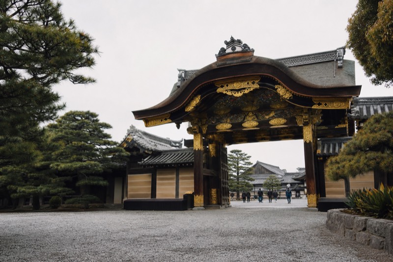
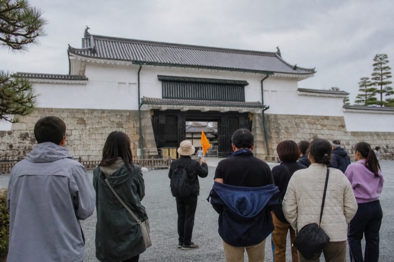
Shogunal castle built in 1603, known for the Ninomaru Palace and its nightingale floors.
Straight-line distance computed at build time from the two mapped OpenStreetMap coordinates. It is not a road distance and it is not a walking time.
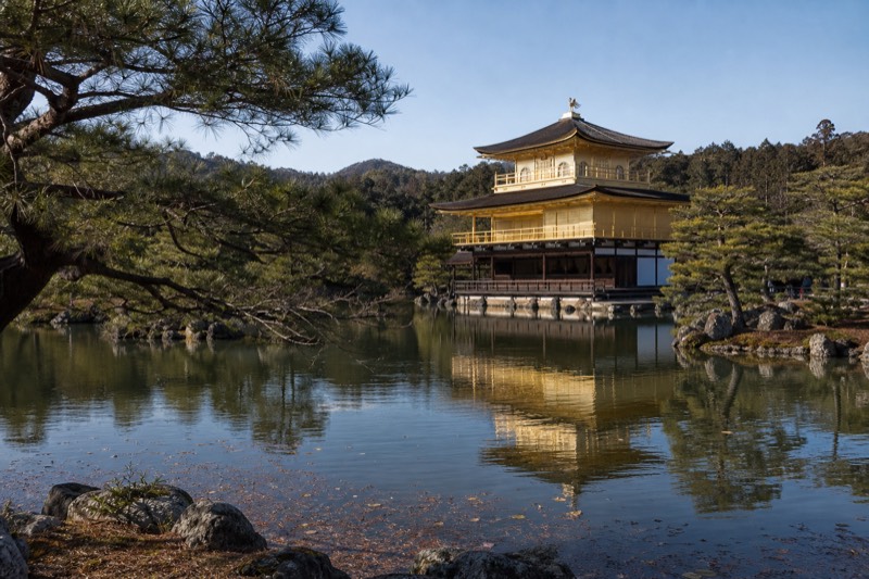
4 Kinkaku-ji
- Kyoto Stops On The Tour
- Kyoto
- 6.7 km from Kyoto Station in a straight line
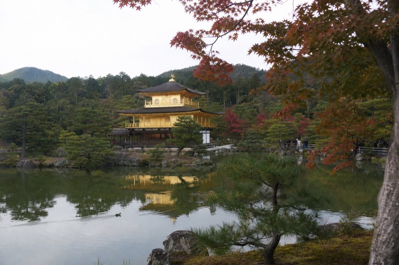
The Golden Pavilion, a Zen temple whose top two floors are covered in gold leaf, set on a reflecting pond.
Straight-line distance computed at build time from the two mapped OpenStreetMap coordinates. It is not a road distance and it is not a walking time.
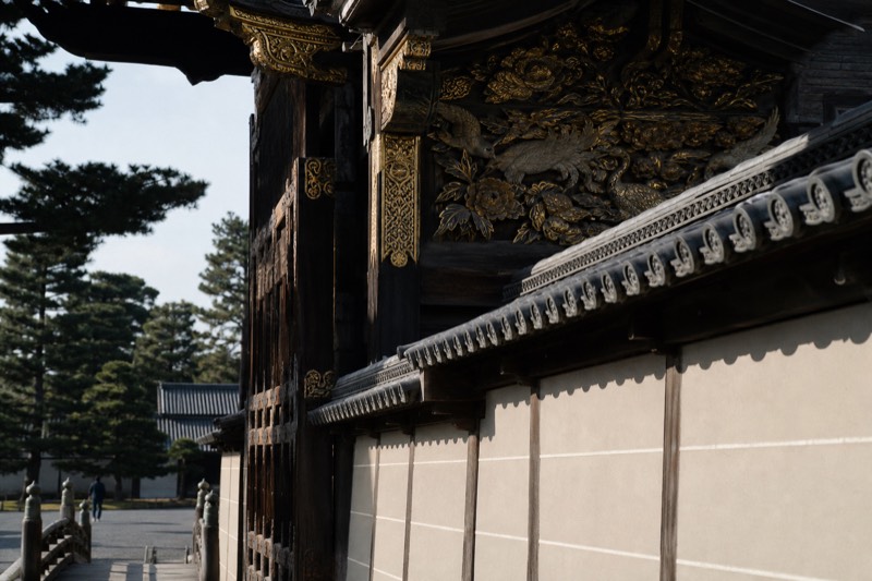
5 Kyoto Imperial Palace
- Kyoto Stops On The Tour
- Kyoto
- 4.5 km from Kyoto Station in a straight line
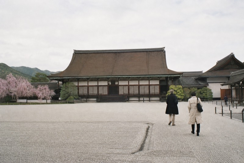
A tour stop, about 40 minutes. Closed Mondays and on Imperial Household Agency event days, when the tour substitutes Kitano Tenmangu.
Straight-line distance computed at build time from the two mapped OpenStreetMap coordinates. It is not a road distance and it is not a walking time.
6 Todai-ji
- Nara Stops On The Tour
- Nara
- 34 km from Kyoto Station in a straight line
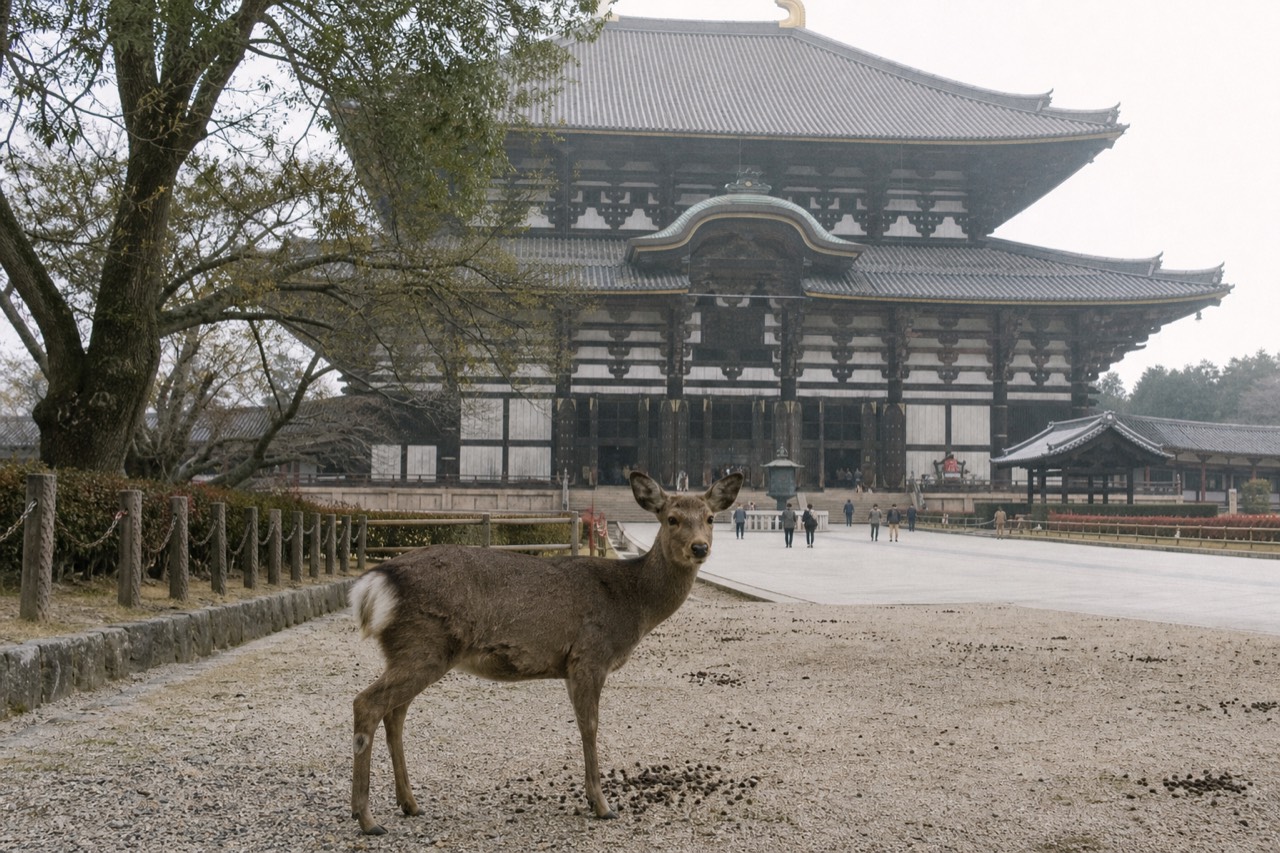
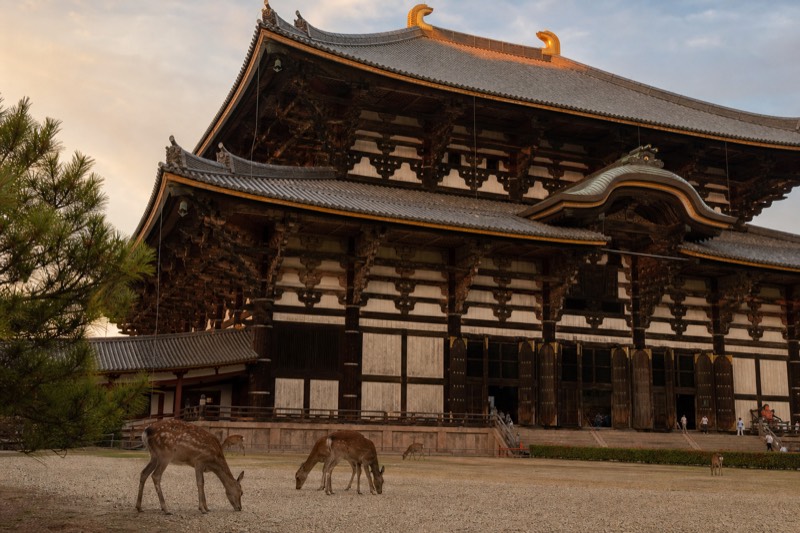
Eighth-century Buddhist temple holding the 15 metre bronze Great Buddha; the Daibutsuden is one of the world's largest wooden buildings.
Straight-line distance computed at build time from the two mapped OpenStreetMap coordinates. It is not a road distance and it is not a walking time.
7 Nara Park
- Nara Stops On The Tour
- Nara
- 35 km from Kyoto Station in a straight line
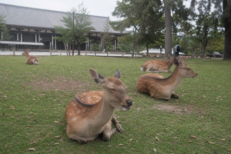
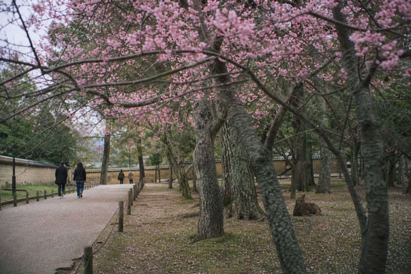
The 500-hectare park where free-roaming sika deer, protected as national natural monuments, share the paths with visitors.
Straight-line distance computed at build time from the two mapped OpenStreetMap coordinates. It is not a road distance and it is not a walking time.
8 Kasuga Taisha
- Nara Stops On The Tour
- Nara
- 35 km from Kyoto Station in a straight line
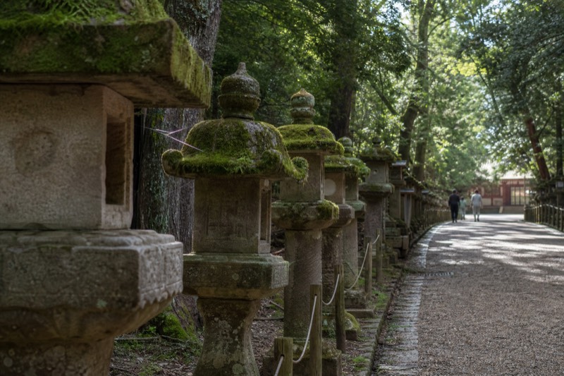
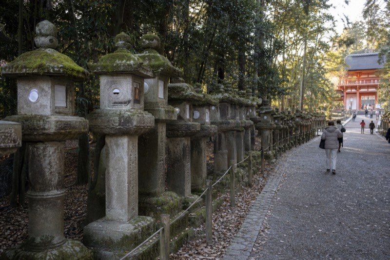
Shinto shrine founded in 768, known for the thousands of stone and bronze lanterns lining its approach.
Straight-line distance computed at build time from the two mapped OpenStreetMap coordinates. It is not a road distance and it is not a walking time.
9 Kofuku-ji
- Nara Sights Near The Stops
- Nara
- 34 km from Kyoto Station in a straight line
Temple of the Fujiwara clan, with a five-storey pagoda that is among the tallest in Japan.
Straight-line distance computed at build time from the two mapped OpenStreetMap coordinates. It is not a road distance and it is not a walking time.
10 JR Nara Station
- Nara Sights Near The Stops
- Nara
- 34 km from Kyoto Station in a straight line
The JR terminus in Nara, about 45 minutes from Kyoto Station on the JR Nara Line.
Straight-line distance computed at build time from the two mapped OpenStreetMap coordinates. It is not a road distance and it is not a walking time.
11 Kintetsu Nara Station
- Nara Sights Near The Stops
- Nara
- 34 km from Kyoto Station in a straight line
The Kintetsu terminus, the closer of Nara's two stations to Nara Park and Todai-ji.
Straight-line distance computed at build time from the two mapped OpenStreetMap coordinates. It is not a road distance and it is not a walking time.
12 Fushimi Inari Taisha
- Spots This Tour Does Not Visit
- Kyoto
- 2.7 km from Kyoto Station in a straight line
Head shrine of Inari, with thousands of vermilion torii gates climbing Mount Inari behind the main hall.
Straight-line distance computed at build time from the two mapped OpenStreetMap coordinates. It is not a road distance and it is not a walking time.
13 Kiyomizu-dera
- Spots This Tour Does Not Visit
- Kyoto
- 2.6 km from Kyoto Station in a straight line
Hillside temple in Higashiyama whose wooden stage projects over the slope; a UNESCO World Heritage site.
Straight-line distance computed at build time from the two mapped OpenStreetMap coordinates. It is not a road distance and it is not a walking time.
14 Arashiyama
- Spots This Tour Does Not Visit
- Kyoto
- 8.1 km from Kyoto Station in a straight line
The riverside district on Kyoto's western side that holds the bamboo grove, Tenryu-ji and the Togetsukyo bridge.
Straight-line distance computed at build time from the two mapped OpenStreetMap coordinates. It is not a road distance and it is not a walking time.
15 Arashiyama Bamboo Grove
- Spots This Tour Does Not Visit
- Kyoto
- 8.7 km from Kyoto Station in a straight line
The walking path through dense moso bamboo in Arashiyama, on the western edge of Kyoto.
Straight-line distance computed at build time from the two mapped OpenStreetMap coordinates. It is not a road distance and it is not a walking time.
16 Byodo-in
- Spots This Tour Does Not Visit
- Uji
- 11 km from Kyoto Station in a straight line
Temple in Uji whose Phoenix Hall, built in 1053, appears on the Japanese 10 yen coin.
Straight-line distance computed at build time from the two mapped OpenStreetMap coordinates. It is not a road distance and it is not a walking time.
17 Gion
- Spots This Tour Does Not Visit
- Kyoto
- 2.9 km from Kyoto Station in a straight line
Kyoto's historic geisha district between the Kamo river and Yasaka Shrine.
Straight-line distance computed at build time from the two mapped OpenStreetMap coordinates. It is not a road distance and it is not a walking time.